ABOUT THE WEBSITE
Wetlands play a fundamental role in climate change mitigation, and provide essential ecosystem services. Yet there is still a lot we don’t know about their precise distribution, extent and inter-annual variability around the world, particularly in the tropics.
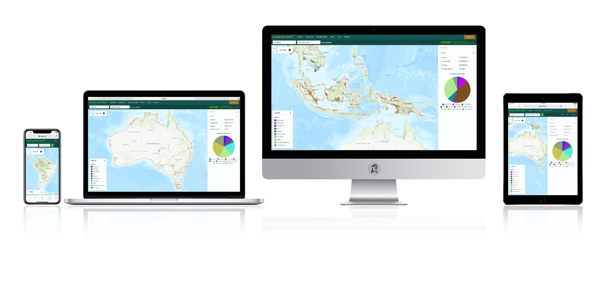
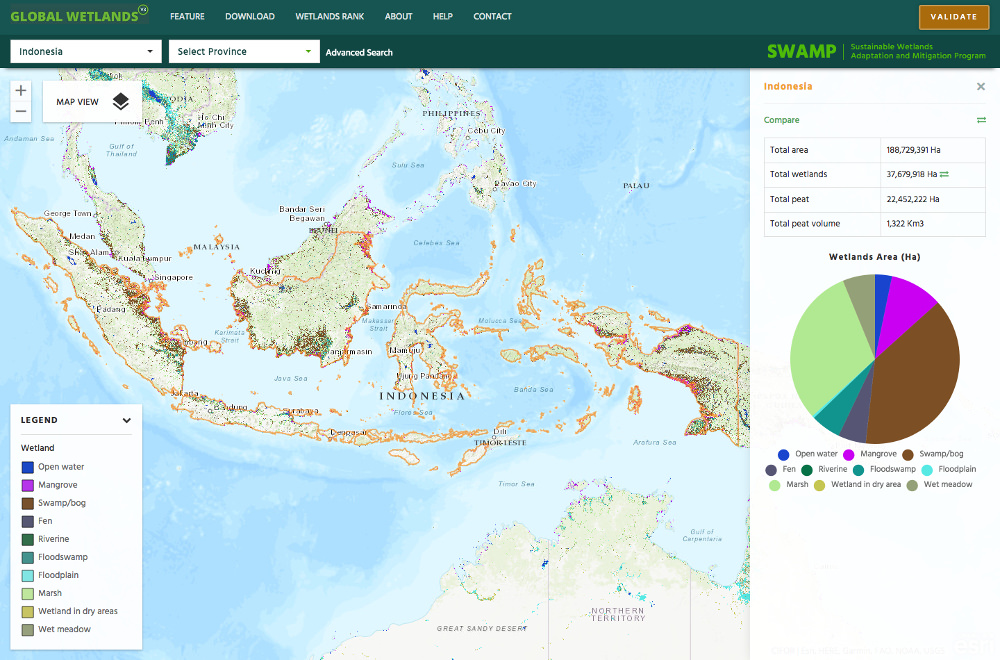
The Global Wetlands Map is an initiative to collect and share information on tropical wetlands in a visual format. Users can access data and contribute their own, using standard geographic information systems software such as ArcGIS.
Explore the interactive web-based map and country and sub national level wetland profile, take a tour to visit some interesting places, or download the datasets to conduct your own analysis.
The Global Wetlands Map is produced by the Sustainable Wetlands Adaptation and Mitigation Program ( SWAMP ), a collaborative effort between the Center for International Forestry Research ( CIFOR ) and the United States Forest Service , supported by the United States Agency for International Development ( USAID ) and the CGIAR Research Program on Forests, Trees and Agroforestry ( FTA ).


